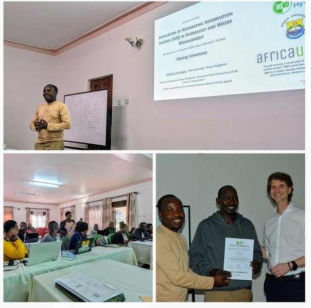
To tackle pressing water management challenges in Western Uganda, Kabale University recently hosted a hands-on GIS training program. As part of the Africa-UniNet supported project " the training aimed to equip participants with crucial skills in spatial analysis using open-source tools.
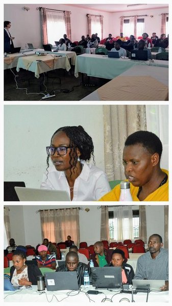
The GIS training provided a comprehensive overview of essential concepts and practical applications. Key topics covered included an introduction to GIS and the open-source QGIS software, techniques for mapping and visualizing spatial data, mapping of historical wetland extents to understand changes over time, catchment and stream network delineation for hydrological modelling, soil erosion hot spot identification, and analysis of land use and land cover change patterns to assess their impacts on water resources.
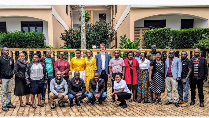
The training equipped 18 postgraduate students and academic staff from Kabale University with practical skills in spatial data analysis and the use of open-source GIS software QGIS for water management. Ms. Loy Natunda, who is finalizing her MSc research on “Assessment of the Potential of Rushebeya-Kanyabaha Swamp in Rukiga District as A Key Biodiversity Area,” highlighted the training's value and thanked the team led by Dr. Mathew Herrnegger for the excellent hands-on experience.
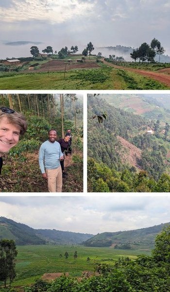
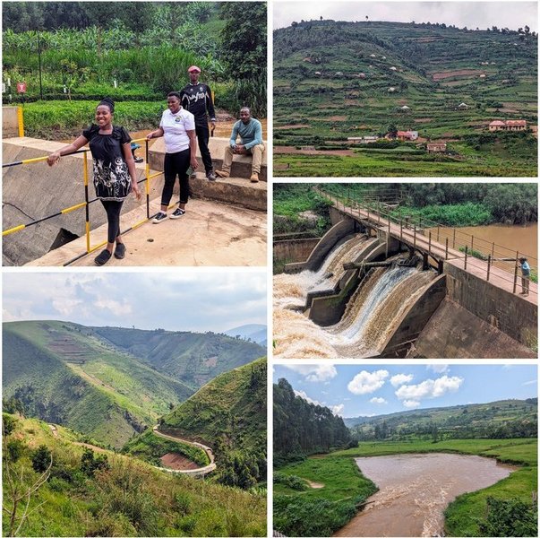
The Maziba catchment, with its critical water resources, is under serious threat due to high population density, intense agricultural practices, and erosion exacerbated by steep terrain. Degradation of wetlands further compounds these challenges. A field excursion of the project team following the GIS training showcased how these tools can be applied to address such urgent environmental issues. Two master's students from Kabale University shared their field research on soil erosion, wetland degradation, and encroachment. The excursion provided first-hand insight into the challenges faced by Ugandan communities and the potential for GIS to help develop sustainable solutions.
The GIS training conducted within the MaziWa project is a significant step towards promoting sustainable water management in Western Uganda. Kabale University, in partnership with the University of Natural Resources and Life Sciences, Vienna (BOKU) supported by the Africa-UniNet, is actively building capacity for informed decision-making to protect vital water resources in the region.