Digitally Connecting Real and Virtual Environments | DEvision

Project Coordinator: Ainura Nazarkulova
Coordinating Institution: University of Salzburg
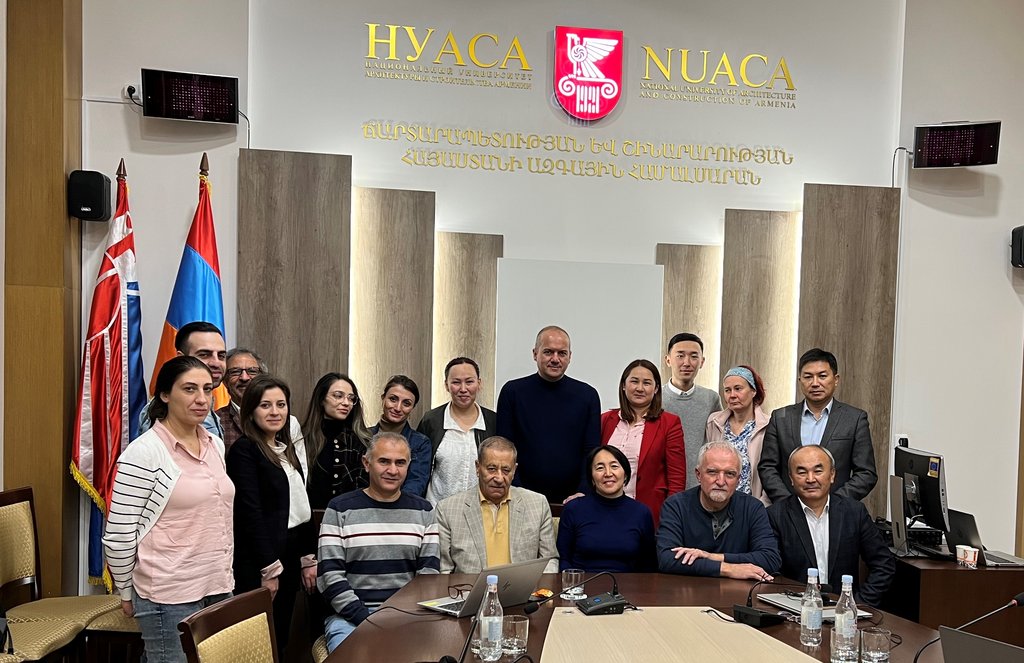
Partner Institutions: National University of Architecture and Construction of Armenia (Naira Gyurjyan), Yerevan State University (Arsen Aproyan), Kyrgyz State University of Construction, Transport and Architecture (Tatygul Urmambetova)
Partner Countries: Armenia, Kyrgyzstan
Project Duration: 1 March 2022 – 28 February 2025 (extended until 30 April 2025) (38 months) Completed
Budget: EUR 332.613,60
Project Overview
The DEvision initiative aims at the integration of geospatial online and blended learning modules into bachelor and master level curricula of multiple disciplines at partner institutions. The initiative implements the Digital Earth vision and digital transformation concepts impacting societies, economies and environments.
The project partners have identified an urgent need and supply gap for education in and open access to current digital, online and participative technologies. In parallel, research capacities at the interface of real world problems and virtual representations need strengthening to serve as foundations for integrated regional development, meeting the needs of economy and societal responsibility for SDGs.
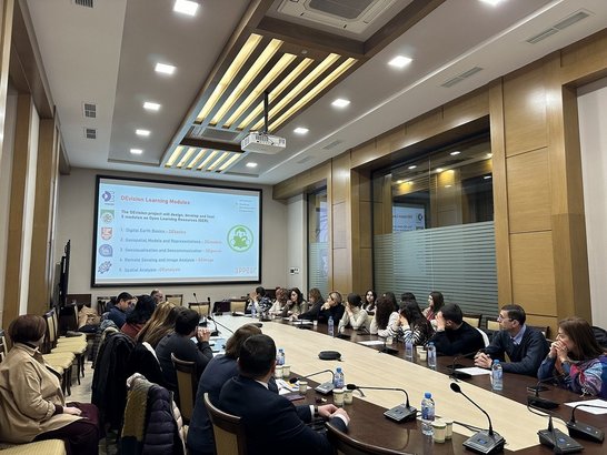
DEvision aims at educating Digital Earth citizens across curricula by implementing a set of core learning modules on Digital Earth Basics, Geospatial Models and Representations, Geovisualisation and –communication, Remote Sensing & Image Analysis, and Spatial Analysis with integrated elements for Application Development.
These Open Educational Resources support an integrated syllabus covering one full semester’s equivalent of student engagement, and serve as focal elements in multiple disciplines ranging from technical to environmental subjects, including social, economic and governance perspectives.
By showcasing and fully implementing a role model for digital transformation in education and ultimately professional practice, the collaborative DEvision initiative is expected to have substantial impact within and beyond all participating institutions: "The future is not something to predict. The future is something to build."
Project website: https://devision-zgis.hub.arcgis.com/
Reporting
DEvision | Report on the 1st project year | (March 2022 - February 2023)
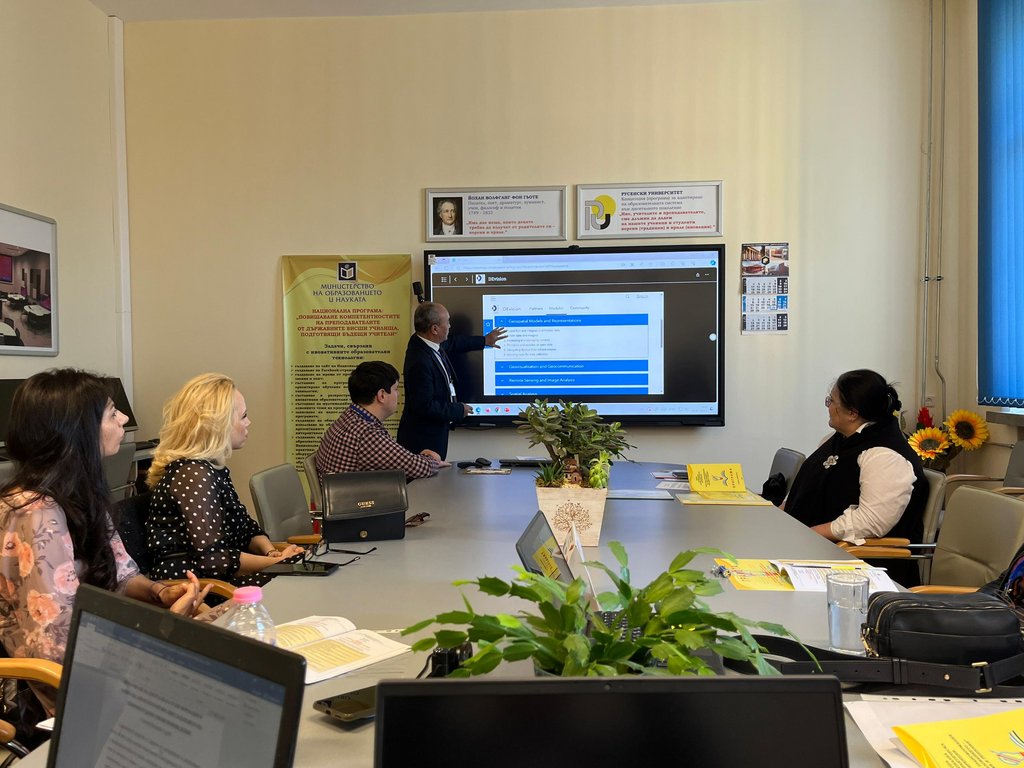
DEvision aims at bringing 'Digital Earth' competences into an array of disciplines beyond 'core' geospatial study programs like Geoinformatics, Geodesy/Surveying or Cartography. During the first project year, development teams were formed contributing to the establishment of Moodle-based open educational resources (OER) for teaching&learning modules on Digital Earth Basics, Geospatial Models and Representations, Geovisualisation and –communication, Remote Sensing and Image Analysis, and Spatial Analysis with integrated elements for Application Development.
DEvision | Report on the 2nd project year | (March 2023 - February 2024)
During the first project year, development teams were formed contributing to the establishment of Moodle-based open educational resources (OER) for teaching&learning modules on Digital Earth Basics, Geospatial Models and Representations, Geovisualisation and –communication, Remote Sensing and Image Analysis, and Spatial Analysis with integrated elements for Application Development. These modules now are openly available for the general Digital Earth education community through the project website, with teachers having privileged access to feedback channels as well as dedicated teacher resources.
In order to warrant longer term maintainability of resources, these are mostly based on existing online materials, with module content allowing for multiple learning pathways, and variable syllabi managed by individual teachers and controlled by program curricula. This approach has been validated throughout the second year of the project through ‘test teaching’ of modules in partner university courses and curriculum accreditation.
Implementation and communication had started with internal workshops and seminars focused on partner institutions and their respective national level contacts. By integration of Digital Earth into a broad scope of curricula, accreditation, teacher training and student orientation, DEvision now is fully established as a transdisciplinary and cross-curriculum approach. In early 2024, continuing education programs addressing in-service professionals have been launched successfully.
For external outreach, a project flyer, stickers and a poster were developed to establish visibility of DEvision and its objectives beyond the immediate partners and involved actors. These hardcopy media are also digitally leveraged through social media channels, in particular X, Facebook, Snapchat and LinkedIn – aiming at connecting and strengthening the educational community in the Caucasus and Central Asia region with a focus on visibility at the annual GIS-in-Central-Asia (GISCA) conference and related publications.
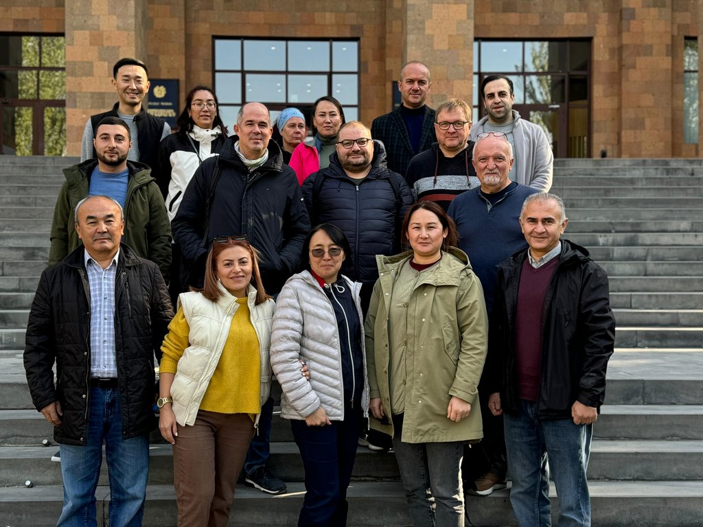
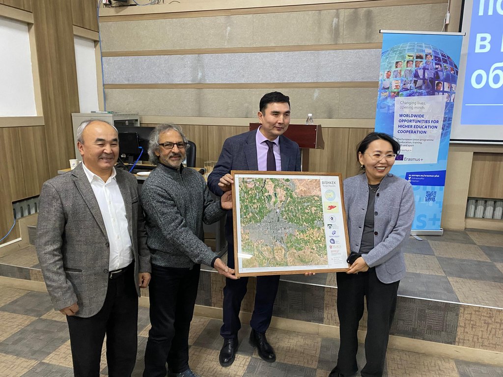
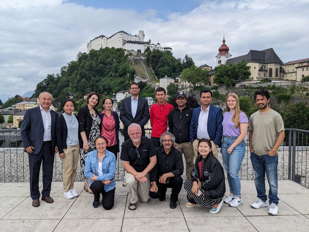
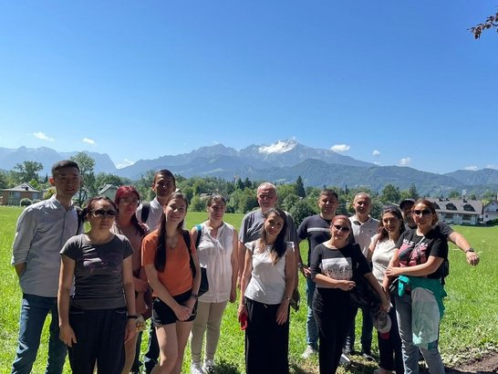
Project management from the outset has been established on the well proven teamwork.com platform, with all actors and stakeholders organized into task-focused teams. This asynchronous communication (and repository) platform is complemented by regular webinars alternating between project management and a teacher training / experience exchange. Periodic in-person project meetings fulfill the extremely important task of semi-structured personal exchange where new topics for discussion and decisions emerge.
The initiative to secure a donation of a geospatial cloud platform by a leading industry vendor (Esri) supports successful implementation of hands-on practicals. This not only forms a core element of teaching and learning within and beyond the current project, but also leads to the implementation of a regional geoportal launched at GISCA 2024.
DEvision resources are already extensively used in trans- and multidisciplinary bachelor or masters’s programs, and support continuing education specialization certificates. Teachers continue to adopt blended learning concepts, an active learning paradigm and are increasingly move beyond the exclusive use of frontal lecturing and instruction. The transition to a guidance, mentoring, consulting and monitoring practice is progressing well.

DEvision | Report on the 3rd project year | (March 2024 - February 2025)
The DEvision initiative aimed at the integration of geospatial online and blended learning modules into existing accredited bachelor and master level curricula of multiple disciplines at partner institutions. The initiative implements the Digital Earth vision and digital transformation concepts impacting societies, economies and environments. The principle of ‘connecting spatially’ is based on using location as the core characteristic of geospatial data, facilitating integration of digital services through the use of location as a ‘key’ to create spatially congruent and synergistic perspectives.
The project partners from Armenia and Kyrgyzstan identified an urgent need and supply gap for education in and open access to current digital, online and participative technologies addressing discipline-agnostic, generic geospatial skills and competences. In parallel, research capacities at the interface of real-world problems and virtual representations need strengthening to serve as foundations for integrated regional development, meeting the needs of economy and societal responsibility for SDGs. Essentially, these requirements can be only fulfilled by connecting the real world with its representative digital models, the latter being employed for supporting better understanding and decision-making in real world problems.
DEvision aims at educating non only domain-specific experts, but also ‘Digital Earth citizens’ across curricula by implementing a set of core learning modules. Five modules were developed covering courses on Digital Earth Basics, Geospatial Models and Representations, Geovisualization and –communication, Remote Sensing & Image Analysis, and Spatial Analysis. Transversal topics like public participation, services-based technologies and application development are addressed throughout these teaching and learning modules.
All developed materials (modules) are implemented and available as Open Educational Resources. Accessible on an open web platform, the DEvision modules implement an integrated syllabus covering one full semester’s equivalent of student engagement, and serve as dedicated elements in multiple disciplines ranging from technical to environmental subjects, including social, economic and governance perspectives.
From an implementation perspective, DEvision modules partly or entirely can be used as curriculum and program elements, but also as an independent certificate offering both in undergraduate as well as graduate frameworks. In addition, offerings as continuing professional development courses have been demonstrated as being well received, reaching out to in-service professionals in fields like public health, regional development, utility management and real estate.
Sustainability of the DEvision approach and outcomes is warranted through design and implementation of the CACgeoportal platform (https://cacgeoportal.com). This valuable resource is facilitated through collaboration with a prominent tech industry actor (Esri Inc.), providing a powerful geospatial portal not only based on a services-oriented data collection (‘Living Atlas’), but also hosting educational resources and serving as a state-of-the-art cloud software and practice infrastructure for learners.
By showcasing and fully implementing a role model for digital transformation in education and ultimately professional practice -with an emphasis on geospatial views- the collaborative DEvision initiative already has demonstrated substantial impact within and beyond participating institutions: "The future is not something to predict. The future is something to build."